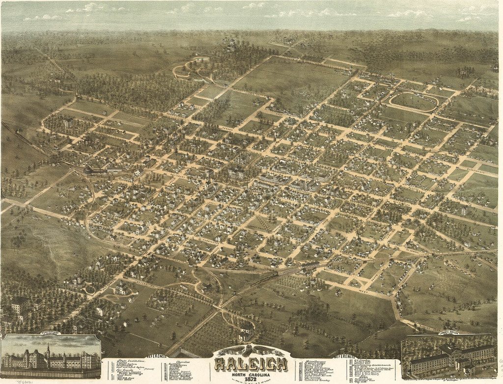
#TBT We are throwing back to 1872, and a bird’s eye view of Raleigh. Raleigh is an early example in the United States of a planned city. It was chosen as the site of the state capital in 1788. The city was originally laid out in a grid pattern with the North Carolina State Capitol in Union Square at the center. This map shows the commercial section of the capital city along Fayetteville Street. Factories, warehouses, and foundries were located near the railroad tracks. Most of the other buildings within the city limits were boarding houses, private residences, and hotels. The population of Raleigh at the time was around 7,800, and the city itself comprised of 1.34 square miles. Today, the city’s population stands at 423,000, and it has a land area of about 145 square miles. Happy Thursday!


